


11,4 km | 23 km-effort

Benutzer


Kostenlosegpshiking-Anwendung
 SityTrail
IGN / Geografische Institute
SityTrail World
Die Welt öffnet sich für Sie
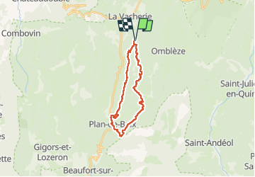
Tour Wandern von 24 km verfügbar auf Auvergne-Rhone-Alpen, Drôme, Le Chaffal. Diese Tour wird von Fab-Oz vorgeschlagen.
Rando dans le Vercors
Départ Le Chaffal (Rando's Valley)
- Croix de Vellan
- Plan de Baix
- La Gervanne
- Chute de la Druise
- Gorges d'Ombleze
- Cascade de la Pissoire
- Canyon des Gueulards
Rando assez difficile par sa longueur et sa durée 24km - 6h de marche (sans compter les pauses) pour environ 900m de D
Peu de passages difficiles, à part plusieurs passages dans le ruisseau la Gervanne, avec de l'eau jusqu'au genoux (en mai). Et 2 échelles dans le Canyon ees Gueulards.
La pause casse-croûte au bord de la Gervanne, la gigantesque chute de la Druise et le Canyon des Gueulards sont les points importants de cette rando.
Possibilité de départ du parking proche de la chute de la Druise comme le propose raygautier dans se rando que j'ai utilisée et adaptée :
Druise - https://strail.co/t/2468658
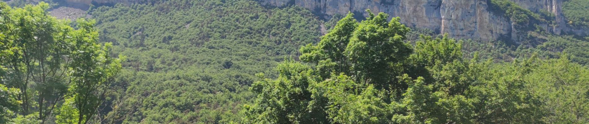
 - Photo 1")
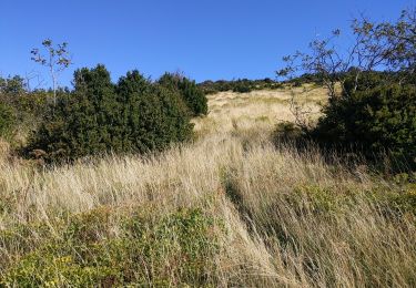
 - Photo 2")
 - Photo 3")

Wandern

Wandern

Wandern

Wandern
Wandern
Wandern

Mountainbike

Wandern
Wandern